Angular Displaying Imagery from Azure Maps
The Angular AzureMapsMapImagery is geographic imagery mapping service provided by Microsoft®. It provides several styles of geographic imagery tiles of the world. This geographic imagery service is accessible directly on the www.azure.microsoft.com web site. The Ignite UI for Angular map component can display geographic imagery from Azure Maps in the map’s background content using the AzureMapsMapImagery class.
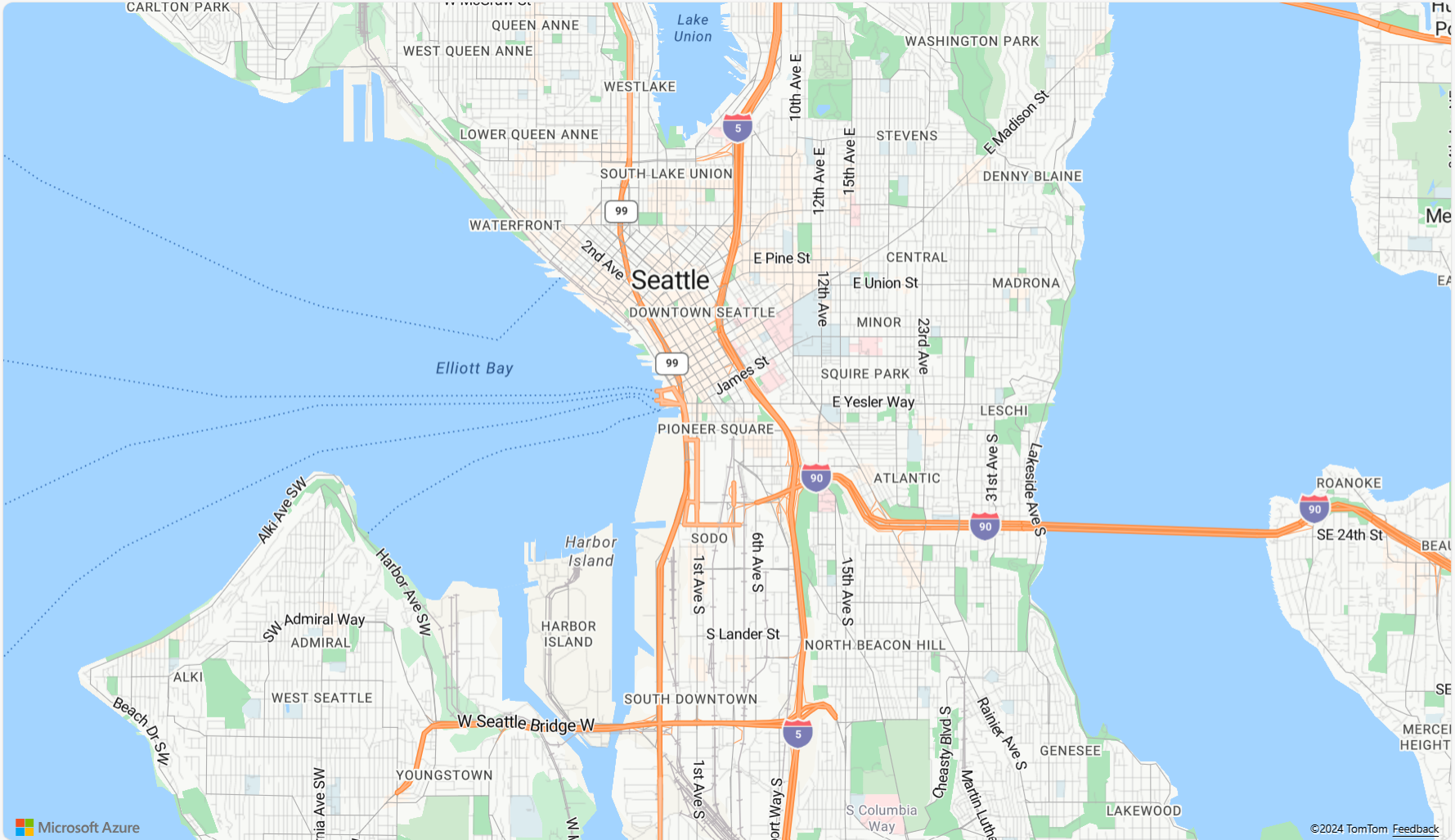
Angular Displaying Imagery from Azure Maps Example
Code Snippet
The following code snippet shows how to display geographic imagery tiles from Azure Maps in Angular IgxGeographicMapComponent using AzureMapsMapImagery class.
<igx-geographic-map #map
    width="100%"
    height="100%"
    zoomable="true" >
</igx-geographic-map>
import { IgxGeographicMapComponent } from 'igniteui-angular-maps';
import { IgxAzureMapsMapImagery } from 'igniteui-angular-maps';
// ...
const tileSource = new IgxAzureMapsMapImagery();
tileSource.apiKey = "YOUR_Azure_MAPS_API_KEY";
tileSource.imageryStyle = AzureMapsImageryStyle.LabelsRoad; // or
tileSource.imageryStyle = AzureMapsImageryStyle.Aerial; // or
tileSource.imageryStyle = AzureMapsImageryStyle.Road;

this.map.backgroundContent = tileSource;
Properties
The following table summarized properties of the AzureMapsMapImagery class:
| Property Name | Property Type | Description |
|---|---|---|
ApiKey |
string | Represents the property for setting an API key required for the Azure Maps imagery service. You must obtain this key from the azure.microsoft.com website. |
ImageryStyle |
AzureMapsImageryStyle |
Represents the property for setting the Azure Maps imagery tiles map style. This property can be set to the following AzureMapsImageryStyle enumeration values:
|
AzureImageryRestUri |
string | Represents the property for setting the Azure Imagery REST URI specifying where the TilePath and SubDomains will come from. This is an optional property, and if not specified it will use the default REST URI. |
CultureName |
string | Represents a property for setting the culture name for the tile source. |
IsDeferredLoad |
boolean | Represents the property that specifies whether or not the Azure Maps service should auto-initialized upon the assignment of valid property values. |
IsInitialized |
boolean | Represents the property that is set to True occurs when geographic imagery tiles from Azure Maps service have been initialized and they are ready for rendering in the map component. |
SubDomains |
SubDomainsCollection |
Represents an image collection of URI sub domains |
TilePath |
string | Represents a property that sets the map tile image URI, this is the actual location of the Azure Maps |
API References
AzureMapsImageryStyleAzureMapsMapImageryIgxGeographicMapComponent
View page on
 GitHub
GitHub